Tidal Transformations in Guinea-Bissau’s Bijagós Archipelago Revealed by NASA Imagery
NASA’s 2025 satellite view shows how twice‑daily tides reshape the mudflats and islands of the Bijagós Archipelago, highlighting fragile coastal dynamics.
The tides of Guinea‑Bissau’s Bijagós Archipelago surge and recede like a living clock, carving a constantly shifting landscape of channels, mudflats and mangrove forests. A NASA satellite captured this dance on Nov. 28, 2025, revealing how islands can appear to grow and shrink within a single tidal cycle. For anyone fascinated by how Earth’s water bodies respond to lunar and solar forces, the image offers a vivid, real‑time laboratory. Understanding these rapid changes matters because they affect biodiversity, local livelihoods, and the health of carbon‑sequestering mangroves. The visual story also underscores the power of space‑based observation to monitor remote ecosystems.
What happened
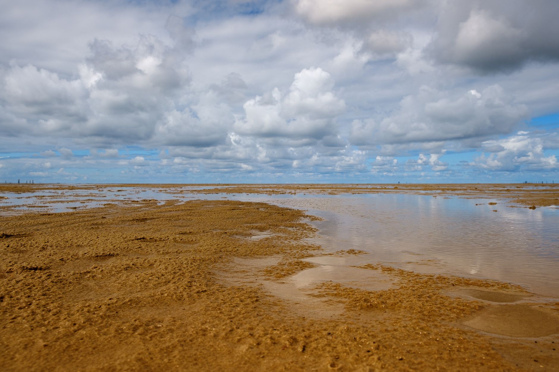
The satellite image shows the Bijagós Archipelago’s 88 islands and islets framed by a maze of sandy channels, mudflats and dense mangrove stands. As the tide ebbs, intertidal mudflats and sandflats emerge, exposing a broad expanse of sediment that was underwater just hours before. When the tide floods again, those same areas disappear beneath the water, making the islands appear to expand and contract dramatically.
This rhythmic transformation occurs twice each day, driven by the combined pull of the Moon and the Sun. The visual contrast between low‑tide exposure and high‑tide inundation is stark, highlighting how quickly coastal topography can change in response to tidal forces.
Why it matters
Coastal mangroves are among the planet’s most efficient carbon sinks, yet they are highly sensitive to changes in water depth and salinity. Rapid tidal fluctuations can influence seed dispersal, nutrient cycling, and habitat availability for fish and bird species that rely on the mudflats. For local communities, these dynamics affect fishing grounds and the stability of shoreline infrastructure.
On a broader scale, tracking such tidal patterns from orbit provides baseline data for climate‑change models. As sea levels rise, the frequency and extent of inundation may shift, potentially altering the balance of these ecosystems. Satellite monitoring therefore becomes a critical tool for early warning and adaptive management.
- High‑resolution imagery captures rapid environmental change.
- Provides baseline data for climate‑impact assessments.
- Highlights the ecological importance of mangrove‑linked tidal zones.
- Single‑date snapshot cannot reveal long‑term trends.
- Cloud cover or sensor limitations may obscure critical moments.
- Interpretation requires expertise in coastal geomorphology.
How to think about it
When evaluating tidal imagery, start by comparing multiple dates to distinguish routine cycles from anomalous events. Consider the broader hydrological context—rainfall, river discharge, and seasonal wind patterns can amplify or dampen tidal signals. For educators, use the visual contrast to illustrate basic principles of tidal mechanics and their ecological ripple effects. Policymakers should integrate such satellite data with ground‑based monitoring to design resilient coastal management strategies.
FAQ
Why do the islands appear to grow and shrink so quickly?+
How does this tidal behavior affect mangrove health?+
Can satellite images help predict future coastal changes?+
- news·3 min readStarlink V3 Satellite Captures 65‑Second Video of SpaceX Starship on Flight 13
A Starlink V3 satellite filmed SpaceX's Starship during its 13th test flight, delivering a 65‑second video of the 171‑ft vehicle in orbit.
- news·3 min readTidal Rhythms Drive Rich Biodiversity on Guinea‑Bissau’s Bijagós Archipelago
NASA highlights how twice‑daily tides shape the Bijagós Archipelago, supporting hundreds of thousands of birds, turtles and marine life.
- news·3 min readCommunity College Instructors Revamp OpenStax Astronomy Textbook with NASA Active‑Learning Resources
NASA’s SciAct program helped community college instructors transform the OpenStax Astronomy 101 textbook into an active‑learning experience for Fall 2026.