Ancient Maltese Seafarers Likely Used Stellar Navigation Across the Mediterranean
New research suggests Malta’s Neolithic builders navigated the 97 km sea to Sicily using star alignments in their megalithic temples.
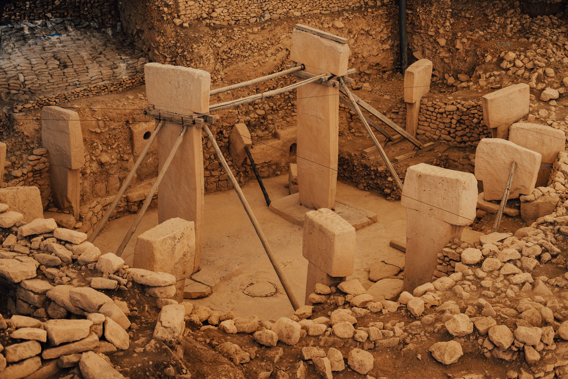
A new analysis of Malta’s megalithic temples suggests that the island’s Neolithic inhabitants may have used the night sky to steer their boats across the open Mediterranean. Archaeologists note that the first settlers arrived from Sicily roughly 5,000 years ago and faced a 97 km sea crossing that would have been invisible from shore. The study points to alignments of several temple structures with equinox points and stellar constellations such as Crux, implying a practical navigational purpose. If correct, this finding reshapes our view of early seafaring and the sophistication of prehistoric cosmology.
What happened
The initial wave of Neolithic migrants settled Malta about 5,000 years ago, likely coming from present‑day Sicily. Over a 1,500‑year construction period they erected more than two dozen megalithic temples, each built from massive stone blocks and oriented toward specific points on the horizon. These structures have long been debated for possible astronomical alignments.
Researchers, including archaeologist Reuben Grima of the University of Malta, have measured the azimuth of temple entrances and found correlations with the rise of bright stars and the direction of the Malta‑Sicily sea lane. The 97 km stretch between the islands would have required open‑sea navigation, a task that could be aided by tracking the consistent rising and setting positions of constellations such as Crux.
Why it matters
If the temples were deliberately aligned for navigation, it demonstrates that Neolithic societies possessed a functional understanding of the night sky far earlier than previously documented. This insight bridges archaeology and astronomy, offering a concrete example of how celestial knowledge supported practical activities like trade and migration. It also prompts a reassessment of other prehistoric sites that may have served dual ceremonial and navigational roles.
- Shows that prehistoric societies possessed sophisticated astronomical knowledge.
- Provides a tangible link between architecture and early maritime practice.
- Encourages interdisciplinary research between archaeology and astronomy.
- Alignment interpretations can be subjective and depend on modern sky models.
- Physical evidence of navigation tools is lacking.
- Alternative explanations, such as ritual orientation, remain plausible.
How to think about it
When evaluating archaeoastronomical claims, consider three steps: (1) verify the statistical significance of any alignment against random orientation; (2) place the alignment within the cultural and environmental context of the builders; and (3) test the proposed function through experimental reconstruction or simulation of night‑sky navigation.
FAQ
How could Neolithic people navigate without compasses?+
What evidence ties temple orientations to seafaring?+
Could the alignments be coincidental?+
- news·3 min readXona Space Systems Gains FCC Spectrum Approval for 250‑Satellite Pulsar Navigation Constellation
Xona Space Systems received FCC authorization to broadcast its Pulsar navigation signals in L‑band, clearing a key hurdle for its 250‑satellite constellation.
- astronomy·3 min readSaturn’s Six Largest Moons Shine in APOD’s August 11 Image – 293 Moons Confirmed
NASA’s August 11 APOD showcases Saturn’s six biggest moons, highlighting the planet’s record 293 confirmed satellites.
- astronomy·3 min readSeven New Quasar‑Lens Systems Discovered Using AI in 800,000 Spectra
Astronomers used AI to sift through 800,000 quasar spectra, uncovering seven new quasar‑lens systems and roughly doubling the known sample.